
Map of the Wyandotte Allotments




Summary:
1861/06/19 Map of the Wyandotte AllottmentsDescription:
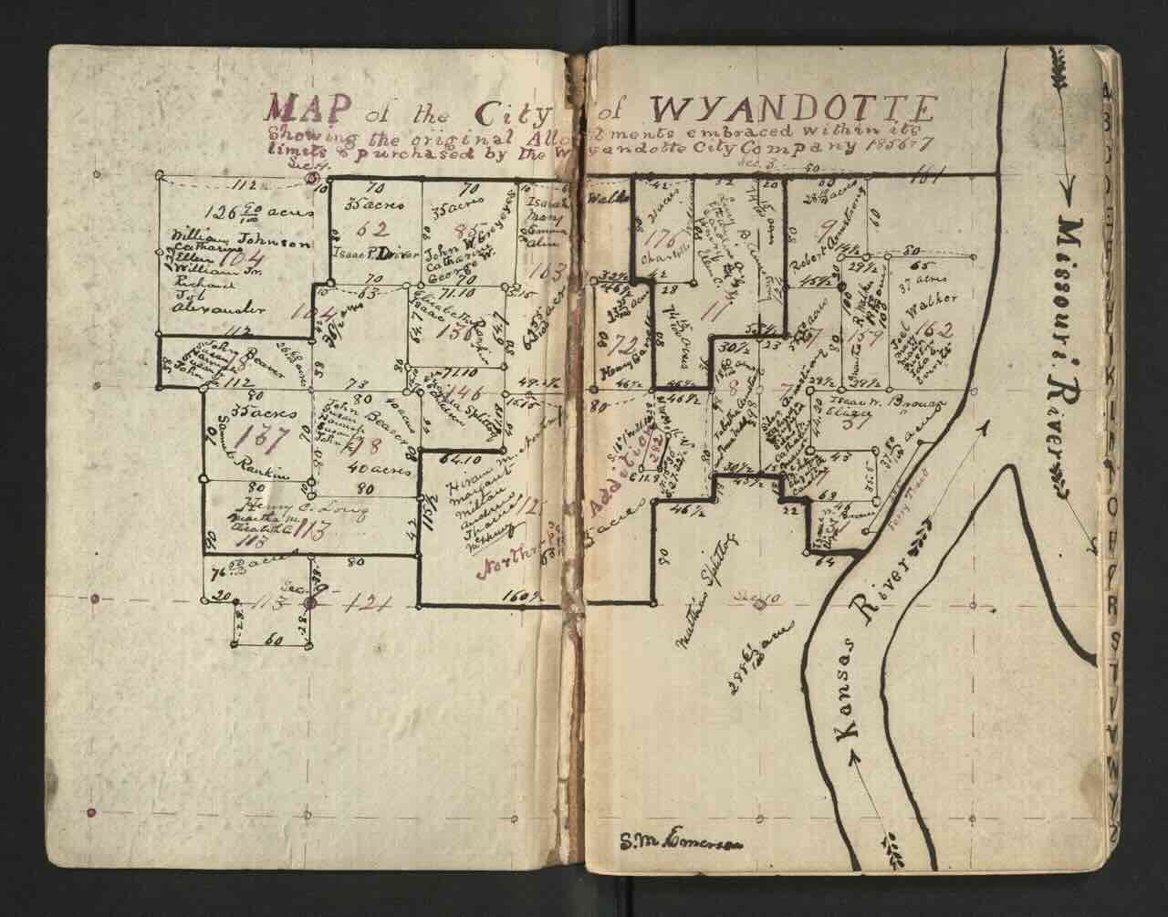
Leather address book containing hand drawn maps of Wyandot allotments, dated June 19, 1861. Much of the writing on the cover has been worn away. The largest map is drawn inside of the front cover and is labeled "Map of the City of Wyandotte - Showing the original Allotments embraced within its limits & purchased by the Wyandotte City Company 1856 & 57." Subsequent pages contain smaller scale close-up maps of individual plots of land. The last few pages contain lists of members of the Competent Class, Incompetent Class, and Orphans, and their respective tracts of land.
Location Description:
Kansas